-
Indie T&T Rating:Trekker's Rating:Maximum ElevationNo votes yet
5 999 m ( 19 680 ft)
Very Strenuous
Trekking Peaksclick image to view gallery
Base City:
Difficulty:
Starting Point:
Ending Point:
Average Duration:
Route Finding:
Equipment Required:
Permits:
Blog Entries & Image Galleries:
Trek Overview
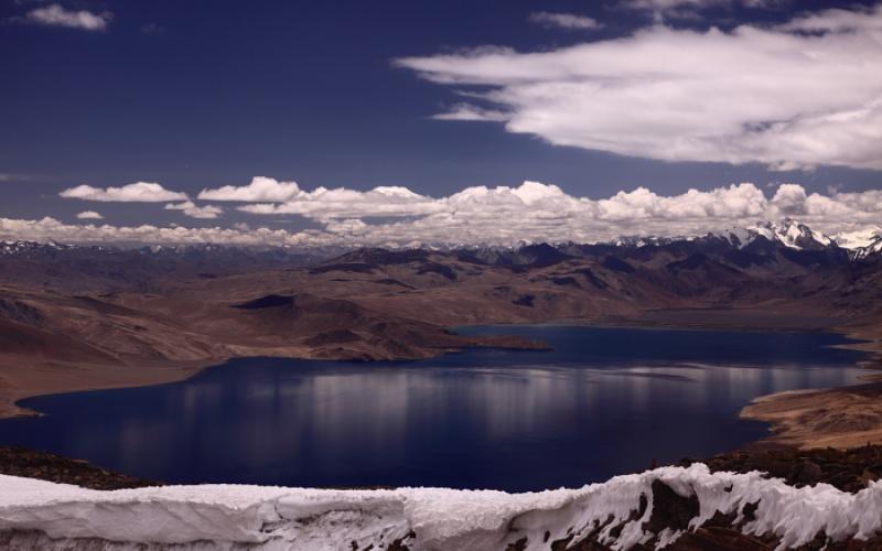
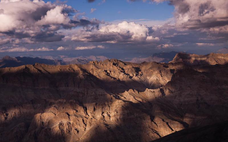
This peak is marked at 5999 m on the Leomann Indian Himalaya Map sheet 9. I climbed it en route between Nurchan and Rajung Karu along the Rumtse to Tso Moriri Trek. After descending the Horlam La (Rang La) take the side valley to the right (southwest) to reach the base. Climb up along the stream that decends from the summit and eventually traverse over to the left (southern) side of the mountain and climb the steep loose scree. Its tough going, pretty much like climbing a 6000 m sand dune. At the summit the views including back at Tso Kar are well worth the effort to get there. It took about 3 hours from the trail to the summit and it took about 2 hours from the summit back down the same way to Rajung Karu. Another possibility would be to follow the ridge to the peak 6000 m and descend down that valley to Rajung Karu ariving from the valley due south.


Add comment