-
Indie T&T Rating:Trekker's Rating:Maximum ElevationNo votes yet
5 266 m ( 17 275 ft)
Strenuous
Camping Treksclick image to view gallery
Equipment Required:
Permits:
Blog Entries & Image Galleries:
Trek Overview
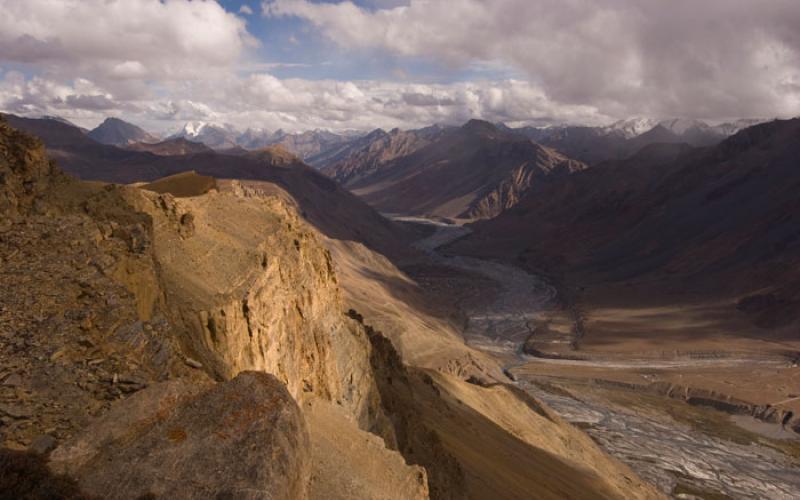
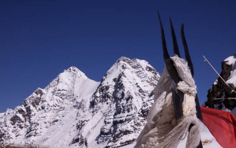
Foreigners need a permit for this trek obtainable in Rekong Peo from the tourist information center near the main bazaar.Technically you are required to have either a group of 4 or have a guide, I was able to persuade them to give me a permit individually by agreeing to write a statement that I accept responsibility for my own safety while trekking alone. This trek follows the portion of the traditional pilgrimages circuit (Parikrama) aournd the sacred Kinnaur Kailash peak although the peak itself is not visible from anywhere along the trek. The road goes to Lambar currently the village past Thangi which is reachable by bus from Peo. It looks to be a while before the road will be extended to Charang, and even when it is it will likely be closed quite a bit due to landslides. Despite what the Leoman series map says Charang is on the South bank of the river (Lousy Indian maps are the hardest part about trekking in the Indian Himalaya) so cross the river when the trail divides at a bridge before the ITBP check point. The trek from Lambar to the ITBP check point is not that great the route goes back and forth from the road under construction to the original trail and the views are nothing special. I left Lumbar at 1:00 pm and got to the ITBP checkpoint at 6:00 pm. After the checkpoint the trek gets nice. Charang village is a very scenic and friendly village where it is possible to stay. From Charang head up to the left (west) of the village any of the trails that head up should get you there. Aim for the high ridge on the right its not really a pass but more of a high traverse on the right slope of the ridge. The trail is good until Lalanti where it crosses the river then it becomes vague but is marked pretty regularly by carrins. There was a big snow storm about 5 days before I did the trek so a bit above Lalanti where the terrain becomes rocky it was also covered in snow. I camped just before the snow line near a spring. Starting from the checkpoint with an hour and a half stop in Charang and leaving at 9:00 am I got to that camp about 4:00 pm. The next day I started at 8:00 am and got to the base of the pass at 11:30 am. I pitched my tent on a snow covered ridge just opposite the steep section. No water but lots of snow which takes a surprisingly long time to melt even on a bright sunny day. A better place to camp is by the small pond a bit further back but I wanted to be as close to the pass as possible. The pass is very steep and when I climbed it covered in snow. I hiked the pass twice the first time that afternoon I made steps in the snow with my trekking pole and boots to the top of the pass. It took 2 hours from the base of where the pass gets steep to get to the top making foot holds. The next morning I packed up and hiked over the pass with all my stuff using the foot holds I made the previous afternoon, it took 1 hour to get to the top using my foot holds from the afternoon before and about 4 hours down to Chitkul from the top of the pass. I think the pass is maybe easier with snow on it since I prefer snow to loose scree which is the alternative. It is a very steep pass on both sides crampons would help if there has been a recent snowfall, but it’s possible with out, I didn’t have them. Chitkul is a great place as well. There are two buses a day from Chitkul back to Peo one in the morning and the other in the early afternoon.


Add comment